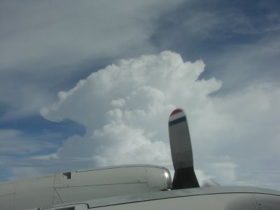
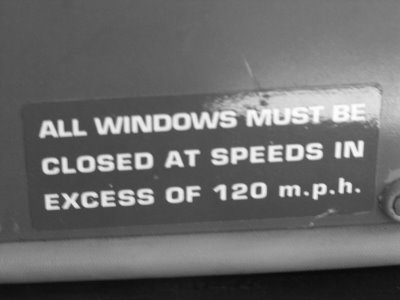
These photos, and the ones to follow (meaning vertically above this post) are from my flights into Tropical Storm Gert on July 23rd and 24th, 2005. These 5 are from the first flight, before the system was named. It became classified as Tropical Depression #7 about midway through this flight. These are not in chronological order; the second photo was actually taken shortly after takeoff from Tampa, while the first and last photos were taken at about the same time as each other, within the circulation of the storm. Notice how much of the sky is cloud-free, with only scattered deep convection and thunderstorms. The 4th photo was taken looking down at the ocean surface, with scattered low clouds and their shadows superimposed on the waves below. These photos were taken from approximately 12,000 feet elevation.
